


Valmorel par l'Ormay

gdela
User
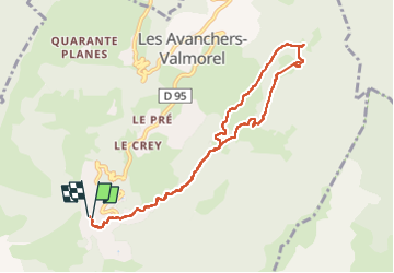

Length
9.1 km

Max alt
1465 m

Uphill gradient
256 m
Km-Effort
12.6 km

Min alt
1311 m

Downhill gradient
257 m
Boucle
Yes
Creation date :
2025-03-12 08:37:04.385
Updated on :
2025-03-12 12:21:12.228
2h42
Difficulty : Medium

FREE GPS app for hiking
 SityTrail
IGN / Geographical institutes
SityTrail Plus
The world is yours!
About
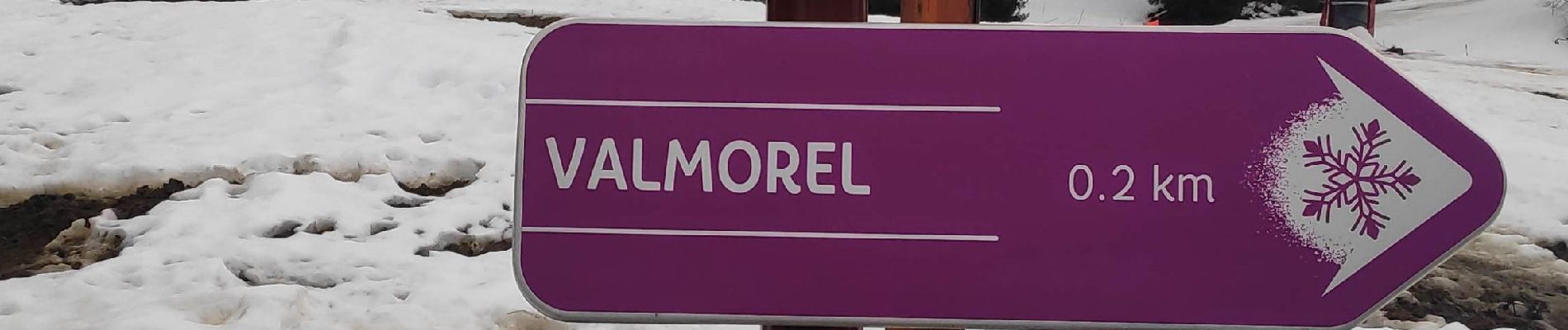
Trail Walking of 9.1 km to be discovered at Auvergne-Rhône-Alpes, Savoy, Les Avanchers-Valmorel. This trail is proposed by gdela.
Photos


Positioning
Country:
France
Region :
Auvergne-Rhône-Alpes
Department/Province :
Savoy
Municipality :
Les Avanchers-Valmorel
Location:
Unknown
Start:(Dec)
Start:(UTM)
299888 ; 5037174 (32T) N.
Comments